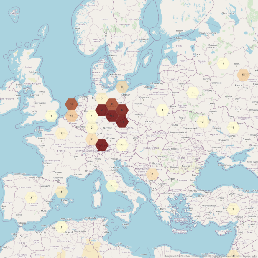
Mapping the geospatial patterns of broadcasted news allows a geospatial analyst to gain insights into common and unusual geospatial patterns. We decided using one of the most comprehensive news collection named “Global Database Events of Tone and Language” (GDELT) as the ground truth.
Getting a coarse-grained geospatial overview of protests and demonstrations of the last 90 days. The geoprotests API offer ready-to-use geospatial features representing broadcasted news related to protests and demonstrations. You can use these geospatial features to build various mapping and geospatial applications.
Read more @Medium: Mapping the geospatial patterns of broadcasted news