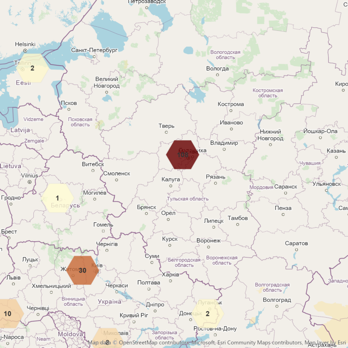
Cybernetics as the Blueprint for Next-Gen Geospatial Intelligence

For centuries, engineers have been fascinated by feedback control. As early as 1868, James Clerk Maxwell analyzed the steam-engine governor—a device that automatically regulated engine speed—laying a formal foundation for control theory. In the 20th century, Norbert Wiener coined the term „cybernetics“ to describe control and communication in animals and machines. The name itself comes from the Greek word for „steersman“: when steering a ship, the rudder is continuously adjusted in response to winds and waves, creating a feedback loop that keeps the vessel on course. After World War II, researchers from mathematics, biology, engineering and other fields convened (for example in the famous Macy Conferences) to develop these ideas, pioneering what became known as cybernetics.

In a closed-loop control system, a controller compares a measured output to a target and uses the difference (the error) to adjust its input. For example, an automobile’s cruise control monitors actual speed against the setpoint and automatically adjusts the throttle to maintain the desired speed despite hills. By continually correcting error, the system adapts: when conditions change, the feedback loop compensates to restore balance.

Modern geospatial intelligence relies on similar feedback loops. Satellite and aerial sensors capture rich spatial data continuously—for instance, NASA’s Landsat/SRTM mosaic shows the 50‑km‑wide „Richat Structure“ in the Sahara in dramatic detail. This raw imagery is fed into analytic algorithms (the „brains“ of the system), which interpret features and patterns. The system then acts on its environment—for example by dispatching drones or altering resource allocations — and keeps sensing, forming a continuous loop. In other words, geospatial systems treat information (sensor data), algorithms, and actors as parts of an urban „cybernetic“ control loop , where sensors gather data, computation draws conclusions, and actuators execute plans.

In disaster response, these adaptive geospatial loops can save lives. As one analysis notes, the timely input of new information allows responders to shift from reactive plans to a truly dynamic process . After the 2010 Haiti earthquake a U.S. Global Hawk drone surveyed damaged roads and bridges from high altitude, providing imagery that guided relief efforts . Likewise, unmanned Predator aircraft equipped with infrared cameras have mapped wildfire hotspots and streamed data back to incident commanders for near real-time tactics. In each case the flow of spatial data into command centers enabled officials to update plans and direct resources based on the latest conditions.

In cities, sensor-driven feedback is building smarter infrastructure. Traffic cameras, pollution monitors, and IoT devices feed data into control centers that adjust city services in real time. This is the concept of a „cybernetic city“, which divides urban management into information collection, decision algorithms, and agents that carry out actions. Geospatial data prove pivotal in optimizing urban infrastructure and environmental monitoring. For example, adaptive traffic-light systems and smart parking apps use real-time location and flow data to reduce congestion, while intelligent energy grids balance supply and demand. Many modern „smart city“ projects already exploit feedback: sensors in roadways and vehicles adjust signal timing dynamically, and smartphone apps crowdsource issues like potholes, closing the loop between citizens and city managers.

The same principles apply to defense and security. Persistent surveillance systems embody cybernetic feedback. Drones and satellites continuously collect geospatial imagery: platforms like the Predator and Global Hawk can loiter for hours, providing „persistent surveillance“ of an area. Analysts and automated systems interpret this incoming data to locate potential threats, feeding conclusions back to commanders for action. In effect, ISR (Intelligence, Surveillance, Reconnaissance) cycles through sense–analyze–act loops. One U.S. intelligence doctrine describes ISR as an integrated capability that „tasks, collects, processes, exploits, and disseminates“ information. In practice, fresh geospatial intelligence quickly informs strategic decisions and operational adjustments.

Underlying all of these examples is the basic cybernetic mechanism of sensing, interpreting, and acting. Sensors (satellites, cameras, UAVs, etc.) „perceive“ the world by gathering raw geospatial data. Advanced software and analysts then „interpret“ this data—using GIS, Geospatial AI and other techniques to extract meaningful patterns or predictions. Finally the system „acts“ on the insights—retasking a drone, changing a traffic signal, dispatching resources or issuing alerts. Each cycle closes the loop: the controller observes outputs, compares them to its goals, and adjusts future actions to reduce any error. This continuous sense analyze–act process is exactly what cybernetics envisioned, making it a powerful blueprint for next generation geospatial intelligence.

References

[1] Control Theory and Maxwell’s Governor
Maxwell, J. C. (1868). On governors. Philosophical Transactions of the Royal Society.

[2] Cybernetics and Norbert Wiener
Wiener, N. (1948). Cybernetics: Or Control and Communication in the Animal and the Machine. MIT Press.

[3] Feedback and Control Loops in Systems Engineering
Franklin, G. F., Powell, J. D., & Emami-Naeini, A. (2015). Feedback Control of Dynamic Systems.

[4] Wikipedia—The Richat Structure
The structure was first described in the 1930s to 1940s.

[5] Cybernetic Urbanism and Smart Cities
Batty, M. (2013). The New Science of Cities. MIT Press.

[6] Haiti Earthquake Drone Reconnaissance
National Research Council. (2014). UAS for Disaster Response: Assessing the Potential.

[7] Wildfire Mapping Using UAVs
NOAA. (2020). Unmanned Aircraft in Wildfire Management.

[8] ISR Doctrine and Persistent Surveillance
Joint Chiefs of Staff. (2012). Joint Publication 2-01: Joint and National Intelligence Support to Military Operations.

[9] Geospatial Intelligence Analysis Cycle
NGA. (2017). Geospatial Intelligence Basic Doctrine (GEOINT 101).

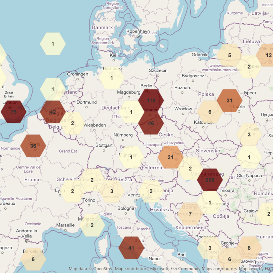
Ardent Achieves Milestone With First FBI Prime Contract Award

Source: pr-inside.com

In a groundbreaking move that signals a new era for Ardent, the renowned technology solutions provider has clinched a prime contract with the Federal Bureau of Investigation (FBI) to deliver cutting-edge geospatial intelligence. This significant achievement marks a milestone for Ardent, propelling the company into the forefront of the technology sector and solidifying its reputation as a key player in the realm of national security.

The Significance of Geospatial Intelligence

Geospatial intelligence (GEOINT) plays a pivotal role in modern security operations, providing a wealth of information derived from analyzing and interpreting data related to geographic locations. From mapping and monitoring to predictive analysis, GEOINT enables agencies like the FBI to make informed decisions, enhance situational awareness, and respond effectively to emerging threats.

Ardent’s Expertise in Technology Solutions

Ardent’s success in securing the FBI prime contract can be attributed to its unwavering commitment to technological excellence. The company has consistently demonstrated its prowess in developing innovative solutions across various domains, from artificial intelligence to cybersecurity. This extensive experience and expertise has positioned Ardent as a trusted partner for government agencies seeking advanced technological solutions.

Key Features of the proposed Geospatial Intelligence Solution

Cutting-Edge Technology

Ardent’s geospatial intelligence solution leverages the latest advancements in technology, incorporating machine learning, data analytics, and real-time monitoring to provide the FBI with a comprehensive and dynamic platform.

Scalability and Flexibility

The scalability and flexibility of Ardent’s solution ensure that it can adapt to the growing needs of the FBI. Whether handling large datasets or accommodating emerging technologies, Ardent’s geospatial intelligence system is designed to scale seamlessly.

Security Protocols

Recognizing the sensitive nature of the data involved, Ardent has implemented robust security protocols to safeguard information at every stage. Encryption, authentication, and secure data transmission are integral components of the company’s commitment to data security.

User-Friendly Interface

Ardent understands the importance of usability in mission-critical applications. The geospatial intelligence platform boasts an intuitive and user-friendly interface, ensuring that FBI personnel can efficiently navigate and extract insights from the vast array of geospatial data.

Ardent’s success in securing the FBI prime contract holds broader implications for national security. By providing the FBI with an advanced geospatial intelligence solution. Ardent is contributing to the enhancement of the country’s overall security infrastructure. The ability to analyze and interpret geospatial data swiftly and accurately empowers law enforcement agencies to stay ahead of emerging threats, protect citizens, and uphold the nation’s security interests.

Conclusion

Ardent’s achievement in securing the FBI prime contract for delivering geospatial intelligence is a testament to the company’s dedication to technological innovation and its commitment to advancing national security. As Ardent continues to push the boundaries of what is possible in the realm of technology solutions, the impact of its work will undoubtedly be felt far beyond the confines of the FBI contract, shaping the landscape of geospatial intelligence and setting new standards for excellence in the industry.

Link:

Transforming Geospatial Intelligence for Good

Source: medium.com

In an era where information is power, the ability to harness and analyze data has never been more crucial. Geospatial Intelligence stands at the forefront of this intelligence revolution, utilizing cutting-edge geospatial technology to make a lasting impact on various intelligence sectors. The commitment to innovation, combined with the dedication to serving the greater good, without earning any prestigious award.

In a world where data reigns supreme, geospatial intelligence stands as a beacon of excellence, proving that geospatial intelligence can not only transform industries, but also be harnessed for the greater good of our nation and its people. Their innovative spirit and commitment to service make them a force to be reckoned with in the world of geospatial technology, and a recognition well-deserved.

Link:

China’s secret naval base in Cambodia

Source: medium.com

In recent years, tensions have been on the rise in the South China Sea, with China aggressively pursuing its territorial claims in the region. One recent development that has caught the attention of analysts is the discovery of a secret naval base in Ream, Cambodia. The base, which was detected through image intelligence, has raised concerns about China’s expanding military presence in the region and its strategic intentions.

Link:

The ChatGPT security bug another zero day vulnerability hunger episode

The ChatGPT security bug is related to the Redis client library redis-py, which could allow a malicious Redis server to execute arbitrary code on the client system. After the first two hunger episodes OpenSSL, and Log4J the IT sector ashamedly present episode 3 redis-py.

A community of developers who contribute their time and expertise to improve the software typically maintains and found Open Source libraries. While many Open Source projects have dedicated maintainers who are responsible for reviewing code, fixing bugs, and releasing new versions, the reality is that a small group of volunteers who have limited resources and are stretched thin maintain many projects.

To address these challenges, it is important for the Open Source community to prioritize security and invest in tools and processes that can help identify and mitigate vulnerabilities in a timely manner. This may include greater collaboration between developers and security researchers, more robust testing and quality assurance processes, and improved documentation and education around best practices for securing Open Source software.

Developers play a critical role in ensuring that the software they create is secure and free of vulnerabilities that attackers could exploit. Security-related bugs can have significant consequences, including data breaches, financial losses, and damage to reputation. As such, it’s important for developers to take security seriously and take steps to minimize the risk of security-related bugs.

To avoid similar security bugs in the future, read more about some general best practices, and how we reviewed it using our Ubuntu development environments.

Link:

Thousands across Europe protest against the invasion

Thousands of people took to the streets in cities across Europe, and all around the world to protest against Russia’s invasion of Ukraine. In Georgia, a country that was the victim of a Russian invasion in 2008, some 30,000 people turned out in the capital Tbilisi.

Onlookers at a devastated apartment block in Kyiv after an airstrike on February 25. The UN is concerned about the situation in Ukraine, and is receiving increasing reports of civilian casualties. Police detained persons during an anti-war protests in Moscow. Ukraine has already seen thousands of casualties from the long-running conflict with Russia. This conflict broke out in 2014 after Russian-backed rebels seized government buildings in towns and cities across eastern Ukraine. Unluckily, the current aggression of Russia against Ukraine will further aggravate this situation.

Read more @Medium: Thousands across Europe protest against the invasion

Moscow police arrested peaceful anti-war protesters

After a well-educated interior designer had unrolled an anti-war poster on Moscow’s Pushkin Square on Wednesday afternoon, the Moscow police showed up within minutes. He and the peaceful demonstrators condemn the use of Russian troops to invade Ukraine. Russian police arrested other peoples who had spoken out peacefully against the invasion. These peaceful protests stand in strong contrast to the public reaction in Russia when Moscow annexed Crimea from Ukraine eight years ago.

Russian residents protested for the second night in a row across the country. Russian citizens across the country took to the streets for the second night of nationwide protests against their country’s military assault on Ukraine. Thousands of Russians protested the Kremlin’s savage military assault in dozens of Russian cities, despite Russian authorities cracking down on demonstrations. The recorded news media of demonstrations from St. Petersburg showed hundreds of people assembled to call for peace in Ukraine.

Read more @Medium: Protests spot report 23–24 February 2022

Intelligence Agencies Pushed to Use More Commercial Satellites

Source: nytimes.com

The picture was far more detailed than commercial satellite pictures of the same site. In some quarters of the intelligence agencies, those lagging commercial capabilities have dampened enthusiasm for pushing forward with more private-sector contracts. The Senate version of this year’s Intelligence Authorization Act contains provisions to increase spending on commercial satellite programs. While the leadership of intelligence agencies is on board, there is still reluctance in some corners of the agencies to embrace commercial technology, according to congressional aides. Current and former congressional officials acknowledge the government still design and operate the most exquisite and innovative intelligence technology.

Link:

Three Reasons Why the Midwest Will Excel in American Defense Innovation

Source: msn.com

The Midwest is refining the innovation process by bringing together academia and defense partners to solve national security challenges. Dual-use technologies that can serve commercial and defense applications are hot in the Midwest. Universities from Wisconsin, Ohio, Indiana, Illinois, Missouri and Iowa represent the Midwest to advance innovation on a national scale. T-REX is home to the nation’s first geospatial innovation center and Moonshot Labs. The future is bright for American defense innovation as entrepreneurs and national labs develop dual-use technologies with support from academia.

Link:

Jacobs Wins National GEOINT Agency Contract

Source: prnewswire.com

They awarded Jacobs a contract by the National Geospatial-Intelligence Agency (NGA) to provide mission-driven and data-centric solutions to support Geospatial-intelligence Enterprise Open Data Store (GEODS) services. The single-award indefinite delivery/indefinite quantity (IDIQ) represents a $302 million contract value across a seven-year ordering period.

Link: